Country
Mindanao & Siargao Island, Philippines
Client
The World Bank Group
Period
2017
Company's Role
View Description
Credits
AIRES Ingegneria


DESCRIPTION
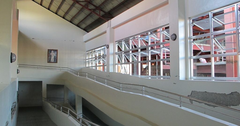
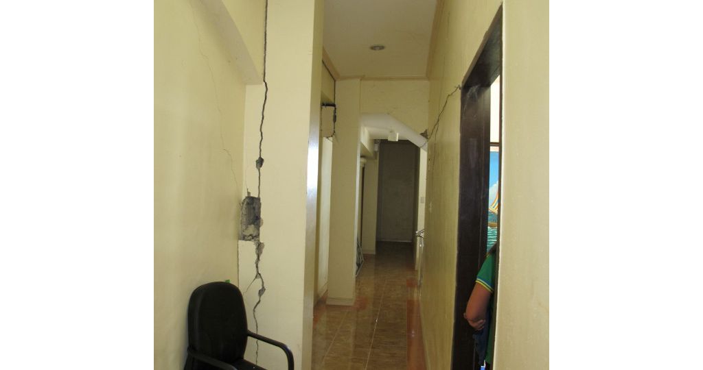
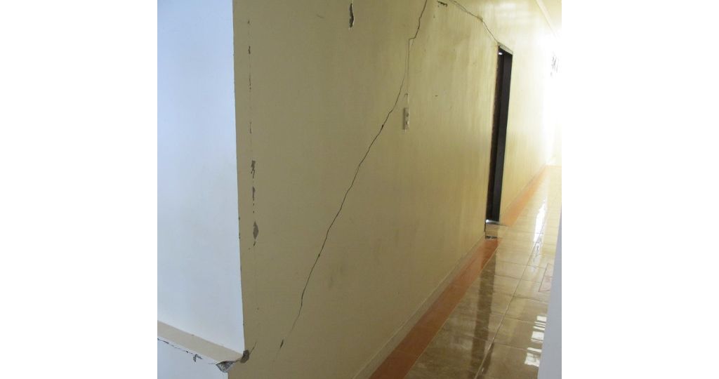
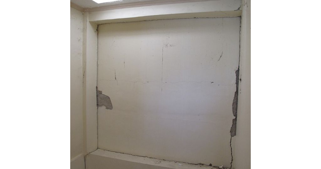
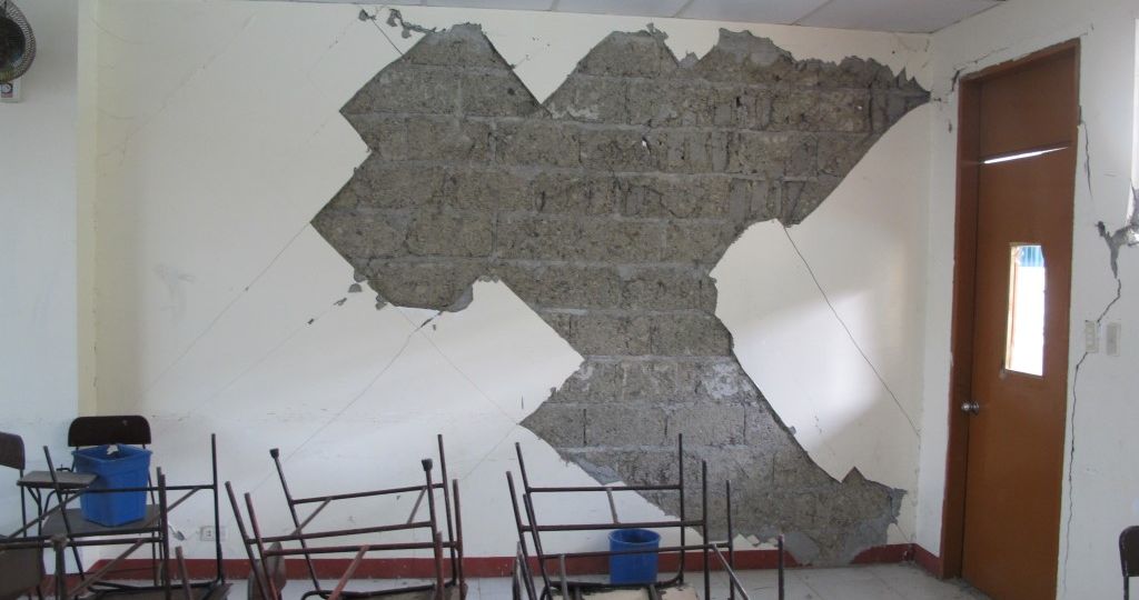
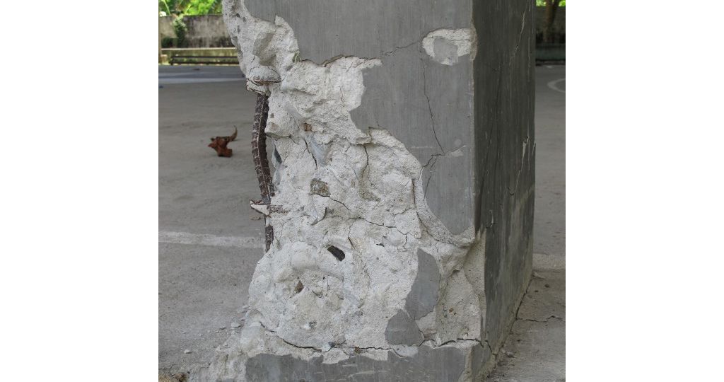
On 10 February 2017, a strong earthquake of magnitude 6.7 shook the island of Mindanao. The epicenter was located 16 km offshore northwest of Surigao City. The earthquake was generated by the movement of Surigao segment of the Philippine Fault, several earthquakes followed afterwards. With the 5.9 magnitude earthquake that rocked Surigao del Norte on March 5, 2017, the Caraga Regional Disaster Risk Reduction (RDRRMC) identified that the structural integrity of various infrastructure and public facilities in the area have been further compromised. The Philippines Department of Finance and the National Economic and Development Authority subsequently sent a formal communication to the World Bank, requesting emergency support to evaluate and assess the structural conditions of their infrastructures to ensure its capacity to withstand, mainly, seismic hazard.
The objective of the World Bank assistance is to support the regional and provincial governments in their capacity to implement ex-ante seismic risk reduction evaluations in the area affected by the earthquake. In this regard, the Bank deployed a team to undertake a rapid visual evaluation of a sample of public buildings in the Province.
The objective of the World Bank assistance is to support the regional and provincial governments in their capacity to implement ex-ante seismic risk reduction evaluations in the area affected by the earthquake. In this regard, the Bank deployed a team to undertake a rapid visual evaluation of a sample of public buildings in the Province.
The specific objectives of this assignment are to:
- conduct Rapid Visual Assessment (RVA) of selected public buildings in the earthquake-affected area with a prioritization of the most vulnerable to seismic hazard;
- based on the RVA, provide risk reduction options (retrofitting/strengthening measures) for the assessed buildings, and the corresponding rough cost estimates.
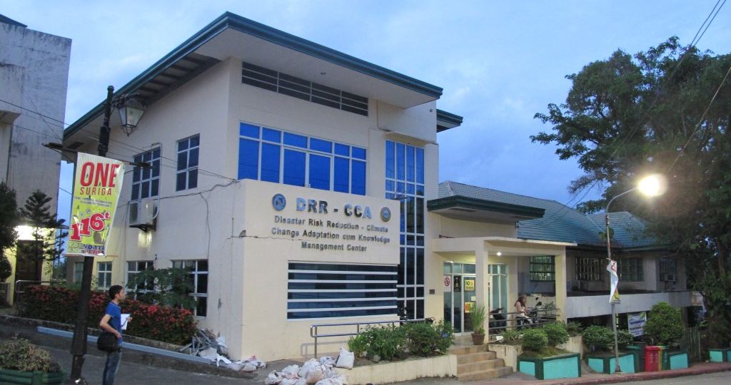
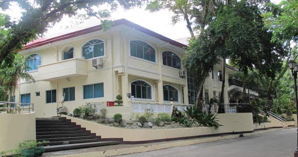
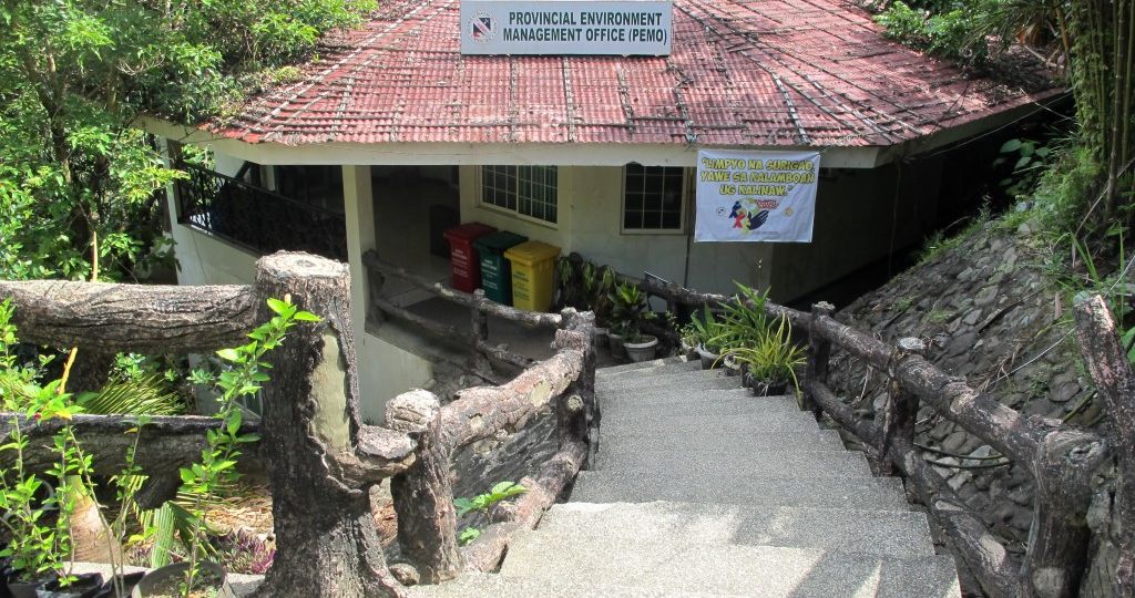
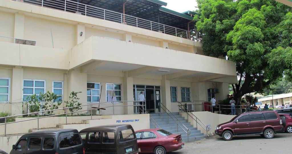
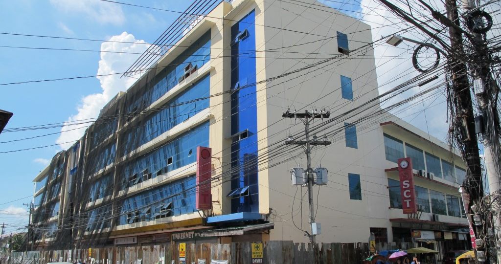
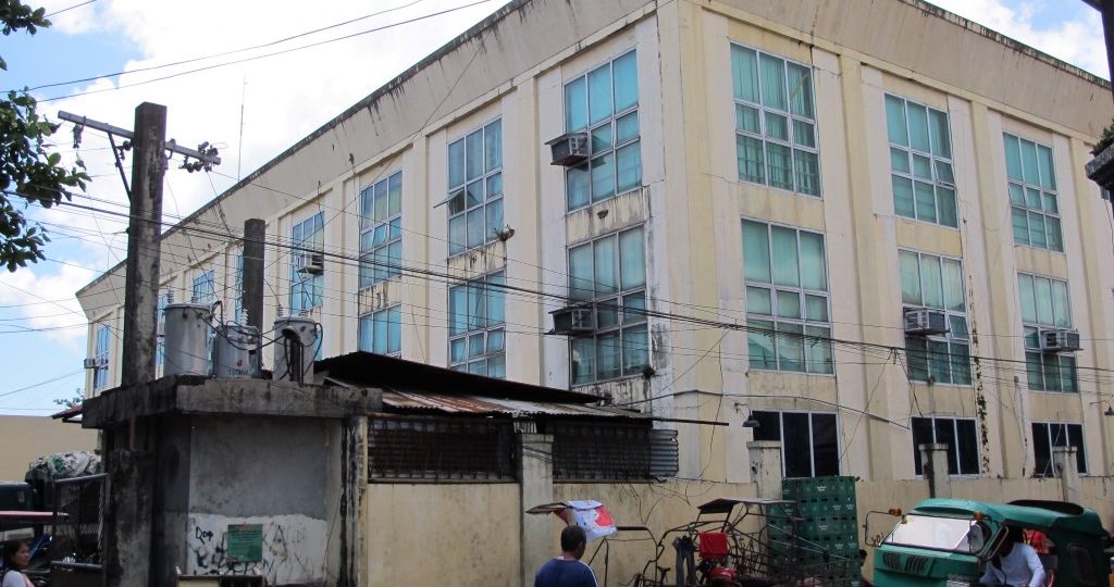
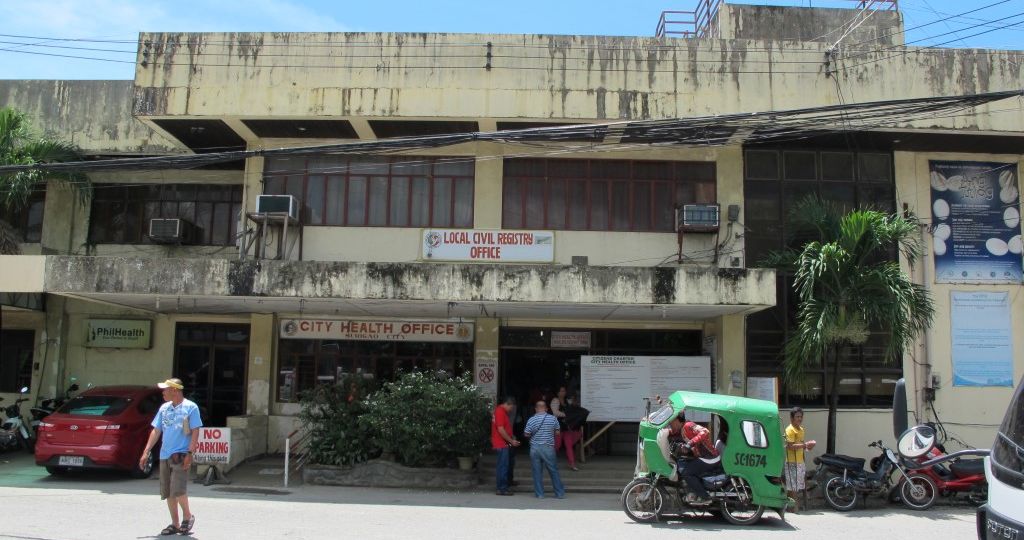
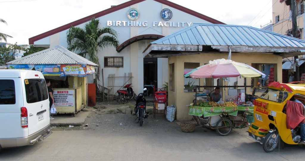
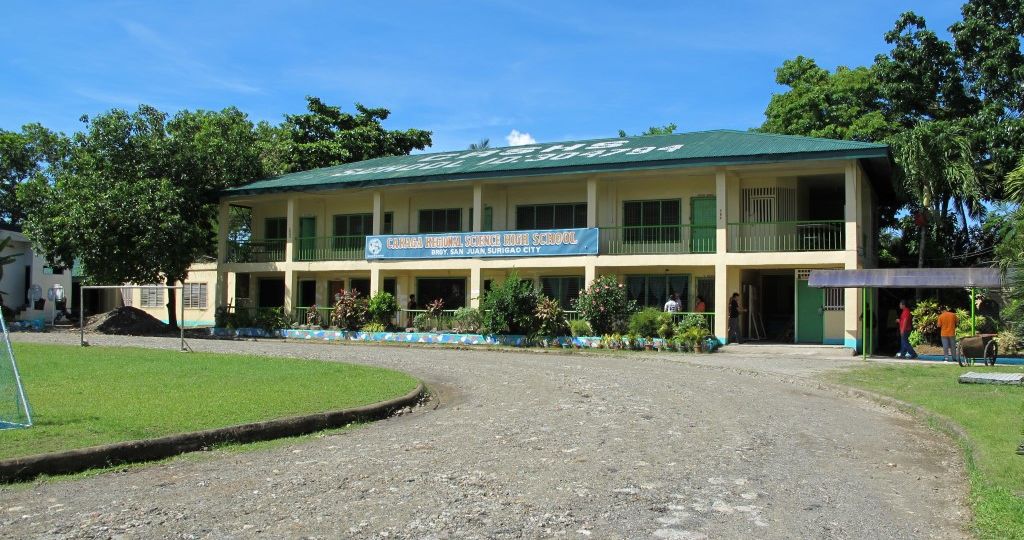
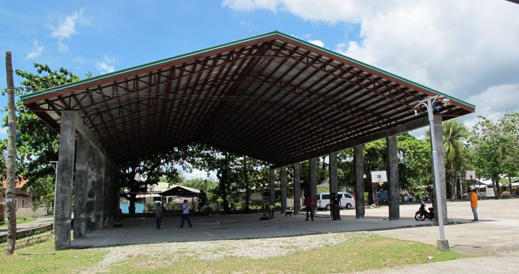
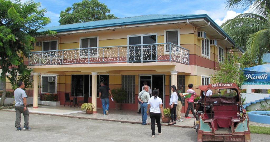
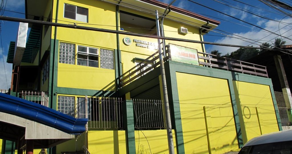
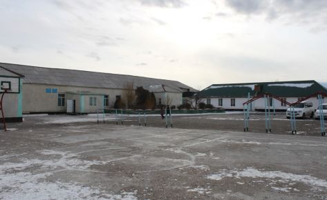
RVA covered 31 buildings on Mindanao Island and 8 buildings in Siargao Island. The pre-earthquake inspection surveys are based on the FEMA-154 Rapid Visual Screening of Structures for Potential Seismic Hazards. These instruments, developed in the United States and adopted worldwide, have been adapted locally in order to consider the local conditions of structures exhibiting different seismic capacity compared to the US buildings stock.
Based on the findings of the previous task, the consultant supported the Government in developing the priority list of public buildings for seismic retrofitting/strengthening and developed a preliminary cost estimates to provide the Government with a budget estimate for the proposed retrofitting or strengthening options for the most vulnerable buildings.
Based on the findings of the previous task, the consultant supported the Government in developing the priority list of public buildings for seismic retrofitting/strengthening and developed a preliminary cost estimates to provide the Government with a budget estimate for the proposed retrofitting or strengthening options for the most vulnerable buildings.
PHOTOS OF THE EARTHQUAKE DAMAGE


PHILIPPINES – Metro Manila
International Jobs
Philippines – Mindanao & Siargao Island
International Jobs
KIRGHIZISTAN – URBAN DEVELOPMENT PROJECT
International Jobs
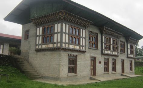
BUTHAN – NATIONAL VULNERABILITY ASSESSMENT AND PILOT RETROFITTING
International Jobs